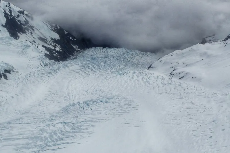

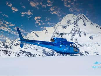
Two-glacier flight with snow landing
35 min, 2 glaciers, 1 landing · 35 minutes
✓ Free cancellation
from NZ$ 495
Book on GetYourGuide
Snow landings above the glaciers, heli-hikes on the ice and kayak trips on Lake Mapourika. Compare the tours from Franz Josef and Fox Glacier and book the one that fits your days.
Flights and heli-hikes all year, weather permitting · Over 15 hours of daylight in December, under 9 in June
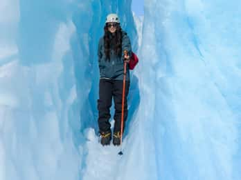
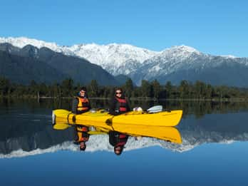
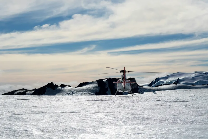
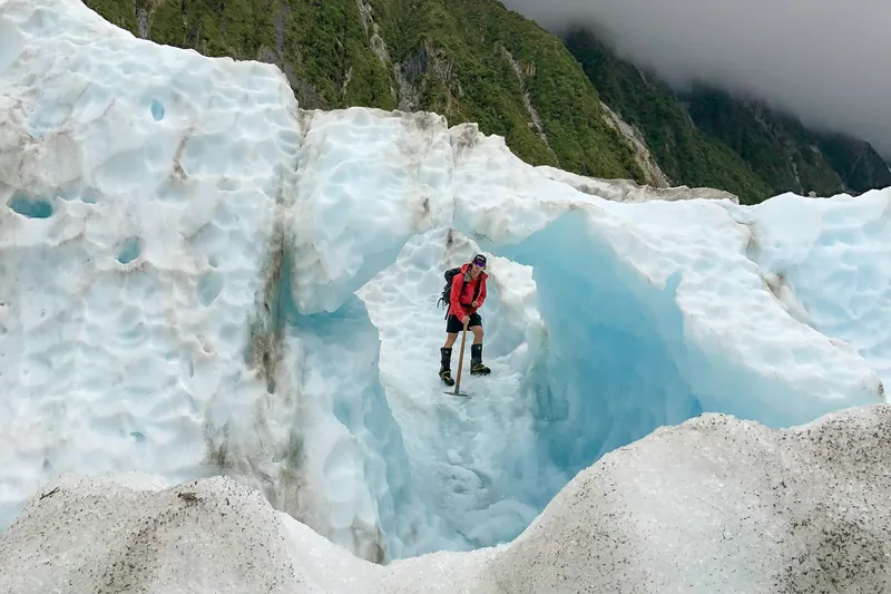
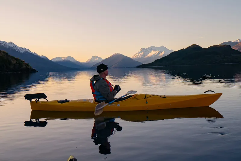
A flight over the Franz Josef Glacier and on to Fox or the Tasman with a stop on the snow, up to two and a half hours in crampons on the Franz Josef ice, and a double kayak across Lake Mapourika into a creek of the Ōkārito Kiwi Sanctuary.
35 min, 2 glaciers, 1 landing · 35 minutes
✓ Free cancellation
from NZ$ 495
Book on GetYourGuideHeli-hike, up to 2.5 h on the ice · About 4 hours
✓ Free cancellation
from NZ$ 899
Book on GetYourGuideDouble kayak, guided · 3 hours
✓ Free cancellation
from NZ$ 149
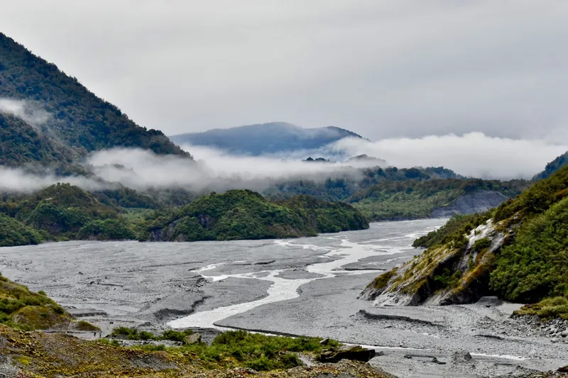
Book on GetYourGuideWestland Tai Poutini National Park was established in 1960 and is part of Te Wāhipounamu, the South West New Zealand World Heritage Area. At its centre are the Franz Josef Glacier (Kā Roimata o Hine Hukatere) and the Fox Glacier (Te Moeka o Tuawe), which descend from the Southern Alps into temperate rainforest. The ice front of each lies less than 300 m above sea level, and Fox Glacier is 13 km long.
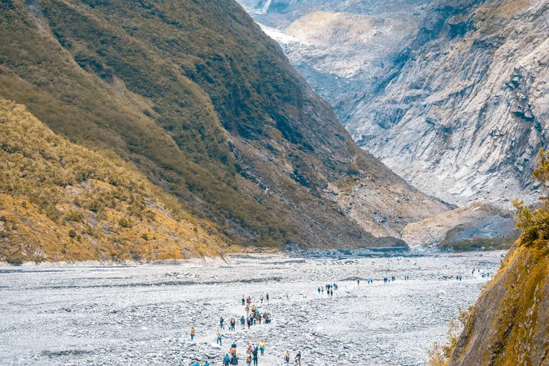
Both glaciers are retreating fast. A 2014 study described the retreat as the fastest in the records of either glacier, and guided walks onto the ice from the valley floor ended in 2012 at Franz Josef and in 2014 at Fox. Today the ice is reached by helicopter. On foot, the DOC tracks end at viewpoints: on 2 November 2026 the Franz Josef viewpoint was about 3,000 m from the ice, 30 minutes return from the car park.
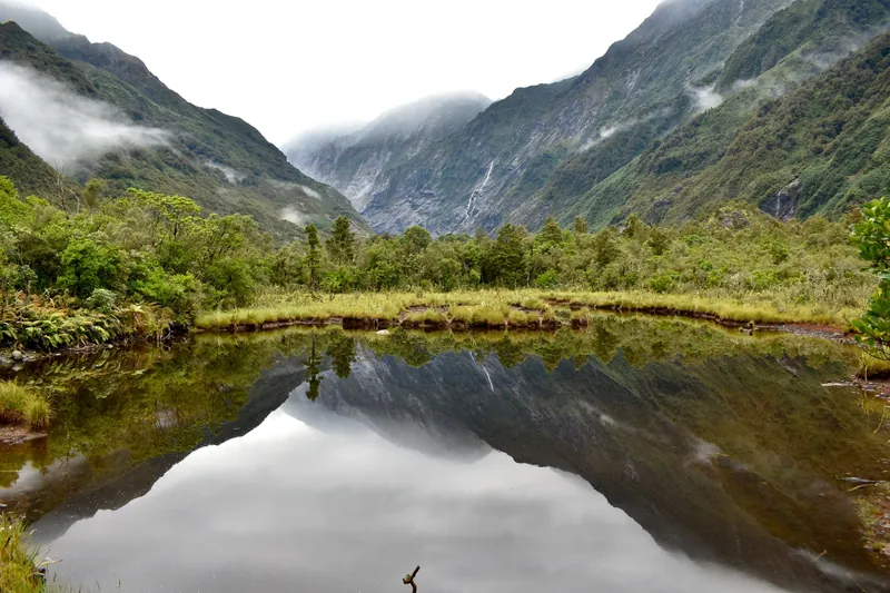
The villages of Franz Josef/Waiau and Fox Glacier/Weheka sit on the park boundary, 23.5 km apart on State Highway 6, with service stations, grocery stores and the bases of the tour operators. Lake Matheson, near Fox, gives mirror reflections of the Alps on calm mornings and evenings, and the lagoon at Ōkārito lies to the north. Rain is part of every visit: NIWA records 5,751 mm a year in Franz Josef. State Highway 6 is the only road in. After a storm on 28 August 2026 closed it between Makarora and Lake Hāwea, NZTA lifted the last restrictions on 23 October, and as of early November 2026 the Haast Pass route is open. The month-by-month guide and getting there have the details.
Not from the valley floor. Guided walks onto the ice from below ended in 2012 at Franz Josef and in 2014 at Fox Glacier, as the ice thinned and the valley walls became unstable. Today you reach the ice by helicopter on a heli-hike; on foot, the DOC tracks end at viewpoints.
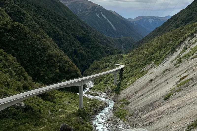
About five hours from either city without stops: some 345 km from Queenstown Airport over Haast Pass and 372 km from Christchurch Airport over Arthur’s Pass. The nearest airport is Hokitika, 136 km north, with daily flights from Christchurch.
The operators decide on the day, and when they cancel for weather the tour pages offer a new time or a full refund. Book the flight or heli-hike for early in your stay so there is room to try again.
Any month, with rain gear. July is the driest month at 352 mm and December the wettest at 659 mm (NIWA, 1981–2010). December gives over 15 hours of daylight, June under nine.
No. Visit Franz Josef is an independent guide. The national park and the visitor centre at 69 Cron Street are run by the Department of Conservation (doc.govt.nz). Tourism West Coast (westcoastnz.com) is the regional tourism organisation, and Glacier Country (glaciercountry.co.nz) publishes the daily glacier access report.
Tours from NZ$ 115
Compare tours